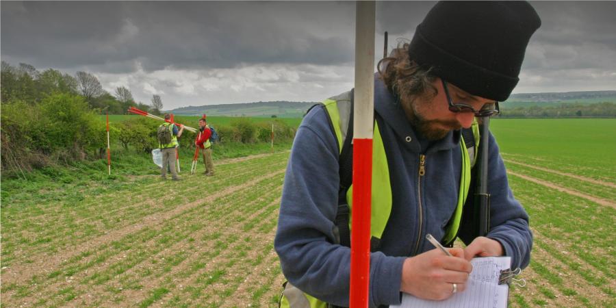
Fieldwalking is one of the least intrusive means of very rapidly assessing the archaeological potential of an area.
How fieldwalking works
A team of archaeologists walk across open areas of recently ploughed fields in a methodical gridded manner (known as collection units), gathering artefacts such as pottery or flint from the surface. It is vital to be able to see the ground surface clearly for an accurate evaluation, and surveys are best carried out after rain.
Wessex Archaeology process and catalogue artefacts by collection unit then create distribution maps of artefact categories (e.g. pottery, worked flint) within a project Geographic Information System. We analyse this data to identify ‘hotspots’ of artefact densities. These are very good indicators of subsurface remains and provide a focus for further investigation.
Team


Get in touch
Contact Andrew Norton, Regional Director North
