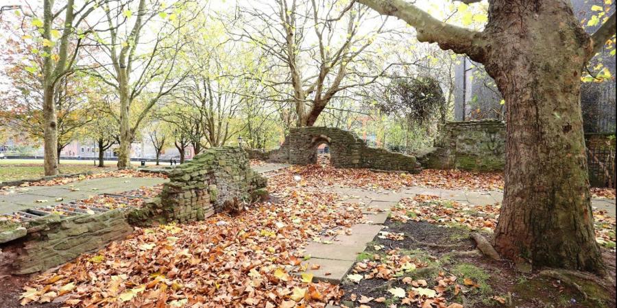
Wessex Archaeology recorded the ruins of the church of St Mary-le-Port, Bristol ahead of a series of conservation works to help preserve the remains of this important structure. With the site presenting safety issues, we developed a unique and simple solution to successfully survey the entire site.
Aim of the project
Wessex Archaeology was commissioned by Bristol City Council in 2017 to record and inspect the ruins of the church in order to understand the different phases of building work that were carried out within the building, before its partial destruction in World War II.


History of the church
St Mary-le-Port has a long history. Excavations in 1965 by Professor Philip Rahtz revealed a Saxon origin for the church and, while none of the standing walls survive from that period, the ruins can be seen to have undergone phases of repair and alteration throughout their existence.
The church was in use until World War II, when it was burned out during an air-raid in 1940. The majority of the church walls were subsequently demolished, leaving only the tower standing to its full height.
Our methods
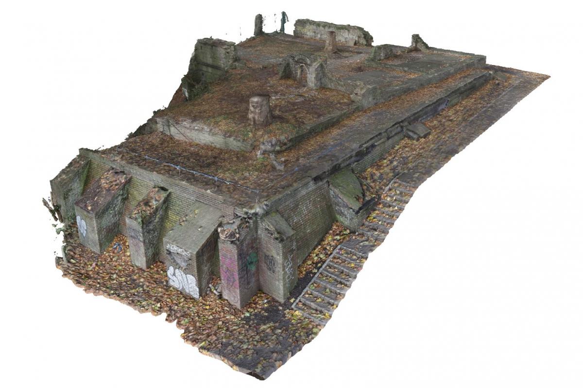
Wessex Archaeology’s approach to this project was unique, using photogrammetry exclusively to carry out the survey. Photogrammetry is a technique where multiple photos of a particular object or environment are taken from different angles. Then, using computer software, a highly detailed and accurate interactive 3D model can be created, allowing archaeologists to investigate the standing remains digitally.
One of the benefits of using this process was that the survey was completed more quickly than a traditional building survey. The technique also allowed us to access parts of the church which we could not get to for safety reasons. This meant that it was possible to accurately record all the standing remains, even in areas where traditional elevation drawing would have been unsafe.


Results
The survey confirmed that much of the existing St Mary-le-Port church was rebuilt in the 15th and 16th centuries on the foundations of an earlier medieval structure, with remains of wall plaster and mortar unique to this period surviving in places. This information meant that the subsequent conservation work was better informed and able to take these different factors into consideration.
The client gained a practical, cost-effective solution to a difficult survey project and the 3D model we created is an engaging and valuable historical record of the site, which can be used and viewed by the public. You can view the 3D model yourself below.

