
In April 2012 Wessex Archaeology was commissioned by Forestry Commission Scotland to undertake a detailed measured archaeological survey of Rubha an Fhaing Dhuibh, a suspected Iron Age promontory fort located on the southern bank of Loch Shiel, near Glenfinnan. In consultation with Forestry Commission Scotland it was decided to use the survey as an opportunity to test out the photogrammetric workflow under development in Wessex Archaeology.
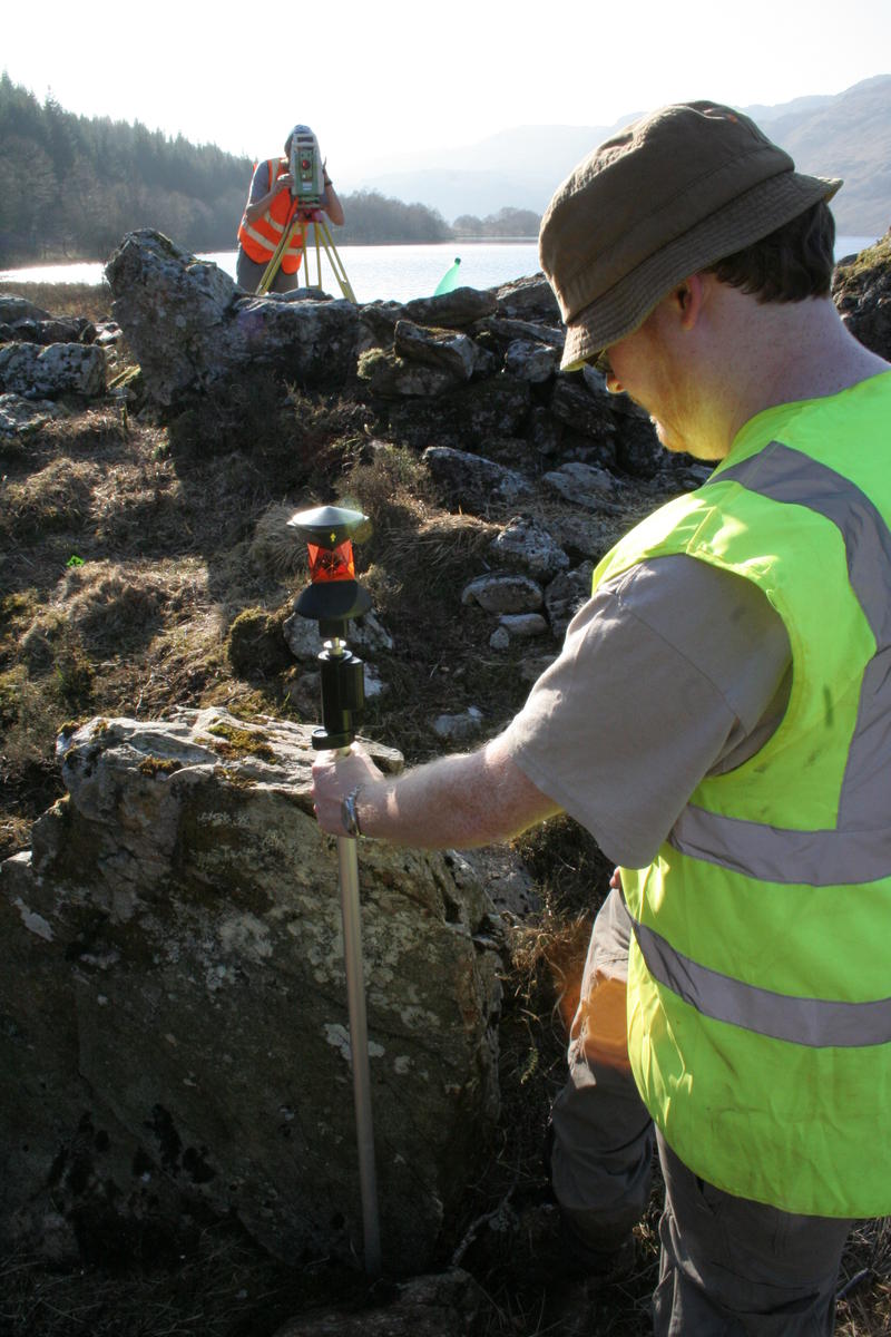
EDM survey for accuracy analysis
For the survey we took over 2,000 digital photographs over the course of a single day. The camera locations were not recorded in the field in any way but were worked out by the photogrammetry software in postprocessing. This allowed for data capture to be undertaken in a matter of hours. We also spent another full day surveying the site using a Total Station. The resulting photos were all loaded into the automated photogrammetry software VIsualSFM (currently under development by Changchang Wu of the University of Washington) in a single batch and processed on a dedicated geomatics workstation. This required over a week of computer processing time!
![]()
40 million points generated from the photogrammetric survey
The result of the data capture at Rubha an Fhaing Dhuibh was a point cloud of over 40 million coloured vertices. The point cloud was then used to generate a highly accurate series of plans and elevations of the site and included some areas which were under water!