In 2015, Wessex Archaeology was commissioned by Historic England to undertake an undesignated site assessment on a mysterious cannon site that had been discovered in 2010 by the Weymouth based community interest company, the Shipwreck Project. The project was designed provided an excellent opportunity to work closely with Richard Bright-Paul and Grahame Knott of the Shipwreck Project. This included using the superb diving vessel Wey Chieftain IV along with their local knowledge and sidescan sonar data.
The Challenge
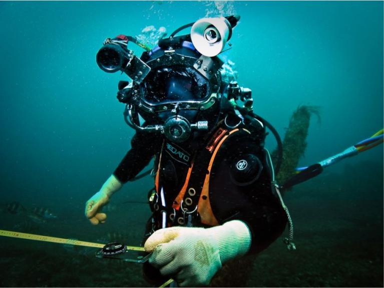
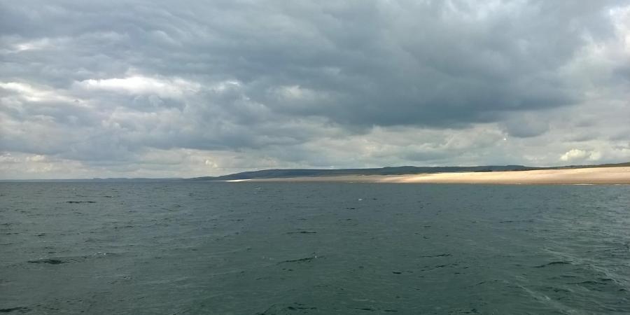
The site is located off the infamous Chesil Beach in Dorset and comprises two areas of iron cannon about 200 m apart. There are many challenges to diving investigations conducted at this location. Chesil Beach is notoriously one of the roughest in the UK; hundreds of ships have been lost in the area and it is rare to have a day suitable for diving, much less consecutive days! When diving is possible, slack is limited to considerably less than an hour and visibility is rarely more than 3 m. Creating a plan of the site using traditional techniques would have been a lengthy process, so a different methodology was employed. Diving was carried out by scuba buddy pairs using a Sonardyne Ultra Short Base Line (USBL) tracking system. Fieldwork took place over four days of favourable conditions between 22 August and 9 October, with the Wessex Archaeology dive team able to deploy at short notice when the weather window looked clear.
On the first day of diving, one of the diver buddy pairs photographed the entire site in one dive, swimming above the site with a camera supported below a buoy and taking several hundred photographs. Overnight, a photogrammetry model was processed in low resolution, from which it was possible to draw a basic site plan by tracing over the model on an iPad. The site plan was then transferred to permatrace, to guide the divers the next day when they gathered detailed measurements for each of the cannon.

Site 1
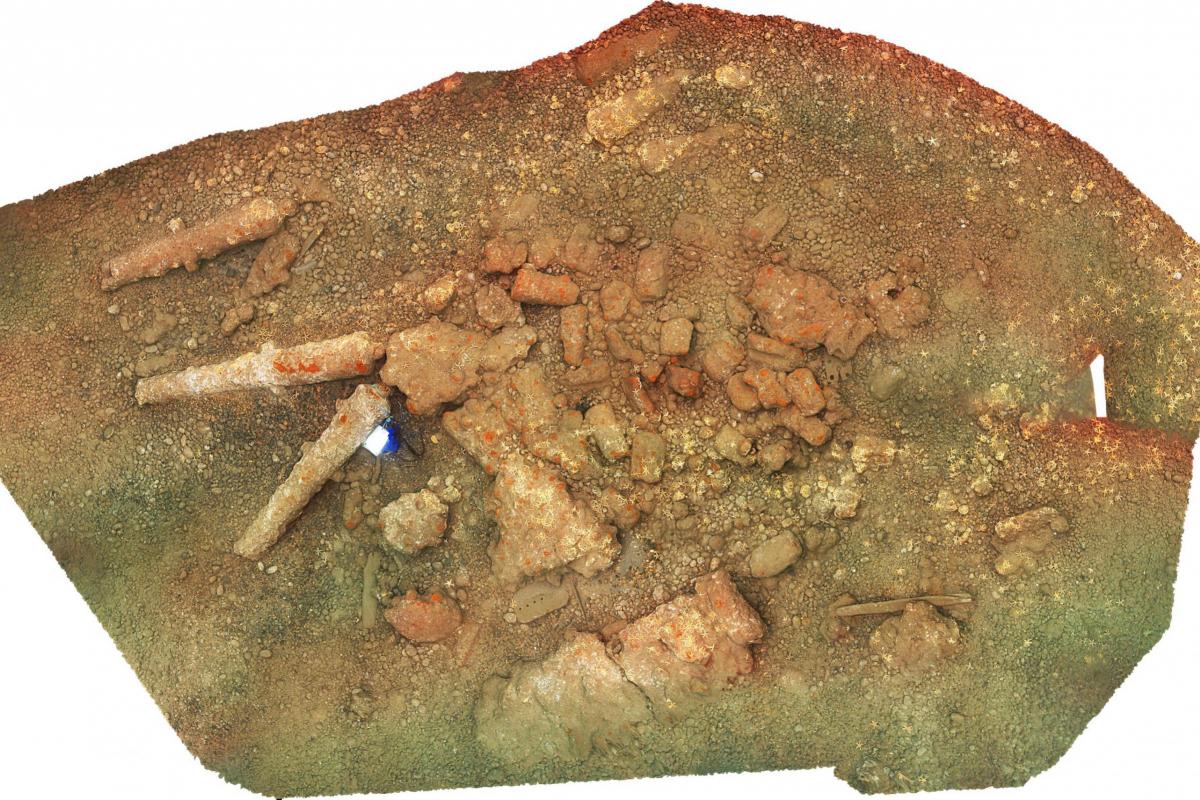
Site 1 was on a gravel and cobble seabed close to shore. It comprised eight heavily concreted cast iron cannons, at least three of which were tentatively identified by independent ordnance expert, Charles Trollope, as English 24-32-pounders. The cannons were cast between the third quarter of the 17th century and the first quarter of the 18th century. The high-resolution model of the site also illustrated a scatter of cannon fragments and other concretions. In addition, there were mounds of cannonballs concreted together, the shape of which suggest that the shot was contained in shot lockers or something similar. Some of the cannon were buried, demonstrating the potential for additional material buried in the area.
Site 2
Site 2 lies approximately 200 m to the south of Site 1, and further offshore. The seabed here is sandy gravel. The visible material comprised seven very heavily concreted cast iron cannons. The level of concretion means dating is difficult cannot be dated, although, available detail suggests they were cast in the second half of the 18th century At least one of the cannon appears to be a 6-pounder.


Further Research
It is possible that these two sites represent completely different wrecking events, although it might just as easily have come from a single wreck dated to around 1700. Could the material on the seabed represent a ‘scrap cargo’? although if so, why was the vessel carrying cannonballs? Further research indicated that a cannon site had been discovered in the area in the 1970s and investigated using explosives. However, the damage to the broken cannons could possibly also be linked with the notoriously high energy of the very steep shingle beach. So it is entirely possible that the broken cannon could be contemporary with the vessel. Currently no historical records have been discovered recording a large 24-32 pounder warship going ashore at this location, however, it could be the wreck of an English transport ship carrying guns out to an English settlement or fortress.
Historic England notes there are at least two possible candidates for the identity of the wreck: the Dutch West Indiaman, De Hoop, wrecked in 1749; and a British cargo vessel Squirrel which wrecked in 1750.
Designation
Wessex Archaeology concluded that the cannon site met the criteria for designation based on its age, rarity, and group value with other wrecks and recorded losses associated with Chesil Beach. The site was designated under the Protection of Wrecks Act 1973 by the Department for Digital, Culture, Media and Sport (DCMS) on 18 August 2017.
Richard Bright-Paul and the Nautical Archaeology Society are continuing to investigate the site.