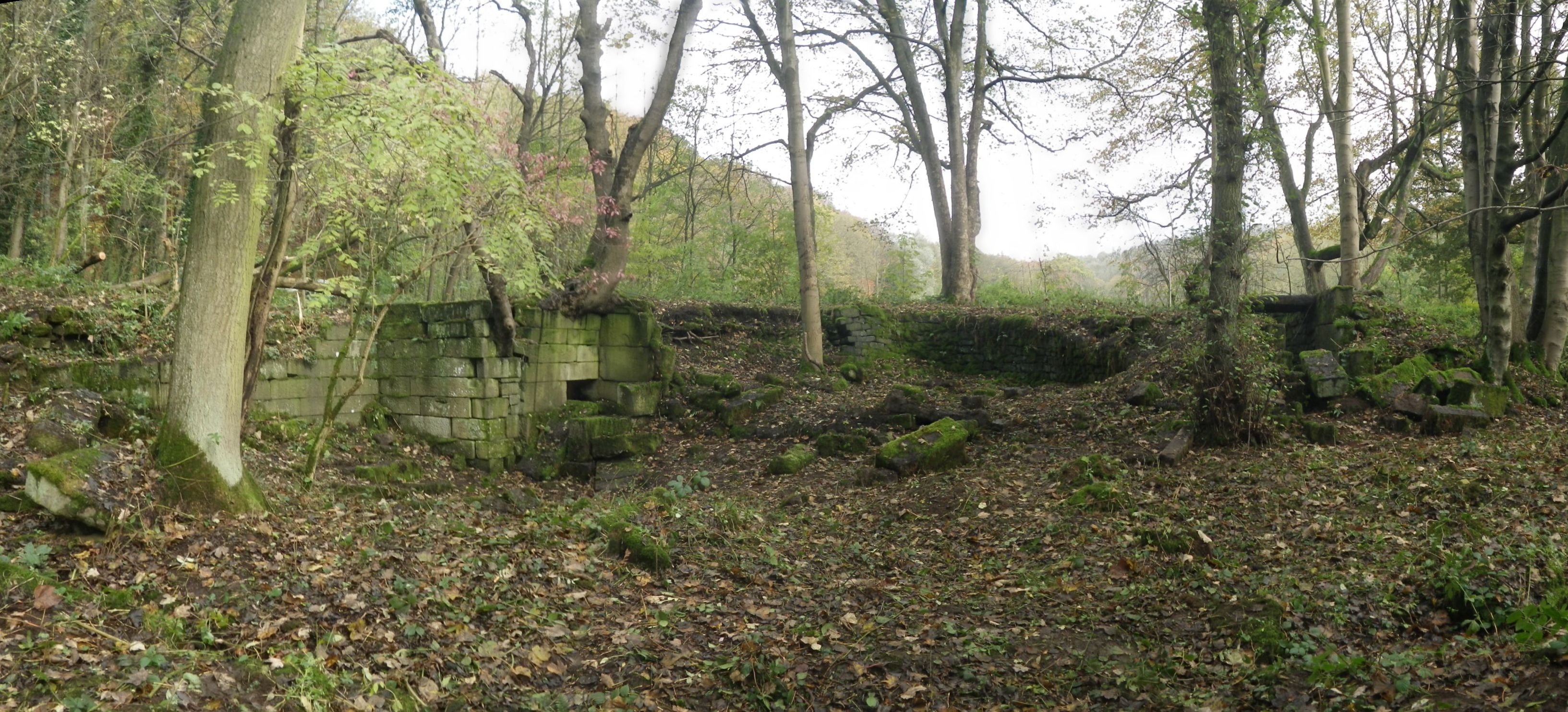
Staff from the Sheffield office have recently undertaken a community archaeology project at Wortley Tin Mill, Barnsley in collaboration with Hunshelf Parish Council, the East Peak Innovation Partnership and the South Yorkshire Industrial History Society. The project involved the production of a desk-based assessment, landscape survey and on-site and off-site training.
The site formed the southernmost works of a group in the Penistone and Tankersley parish area known as Wortley Forges, which were significant in their early adoption and pioneering of iron working techniques. It is commonly held that in 1743 a tin mill was constructed on the site, one of the earliest such operations outside of Wales. Its subsequent reuse as a rolling mill in the 19th century appears to have not significantly altered the works despite its subsequent demolition.

An important contemporary description of the tin mill is provided by R. R. Angerstein in his Illustrated Travel Diary 1753–55: Industry in England and Wales from a Swedish perspective (Berg 2001, 219). He describes the tin mill as comprising a rolling mill with reheating furnaces, a workshop for annealing and the removal of scale, a workshop for pickling and scouring and another one with three pots for tinning, polishing and the removal of the thick tin on the lower edge. Around the turn of the 19th century the mill ceased tin plating, concentrating on the production of rolled bars and plate. Correspondence from the last quarter of 1887 relates how the Earl of Wharncliffe was looking to sell off the machinery at the tin mill, with a suggestion that the machinery had been ‘blown up’ in December of that year destroying the rolls. Historic map evidence shows that the site was in decline by the end of the 19th century; this decline appears complete by the beginning of the 20th century.
Archaeological surveys were conducted at the Site during the 1980s and 2000s. The recent survey, involving members of the local community, largely confirmed previous work, indicating little had changed at the site. The positions of possibly three water wheels were identified. The first had an associated curving head race located within a terrace created from two stone walls. A southern building separated into two cells by an internal division was also identified next to the wheel.
The second wheel related to the main building complex shown on the 1855 OS map and almost certainly post-dated the third wheel. The third wheel was located well away from the buildings identified on the 1855 map and may relate to an earlier structure. Other features identified at the site included a tail race for two of the wheels and workers cottages.
The desk based research and site survey has helped establish the significance of the site, the current condition of the extant structures and has outlined a number of further research questions for the site.