 This is the wreck of an unknown steam trawler, probably dating to the first quarter of the 20th century. The vessel is lying on the starboard side and although most of its structure is absent, part of a funnel is visible on the seabed, together with an iron propeller and winch.
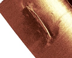
The site is situated due south of Worthing, East Sussex and lies at a depth of 23m. The dimensions of the wreck are 42.1m long, 17.5m wide and it stands 4.4m proud of the seabed.
In August 2002, Wessex Archaeology surveyed the wreck site using sidescan sonar and magnetometer. A month later the site was dived confirming the elements of the wreck that remain, together with a description of their current state of preservation.
[gmap markers=big red::50.6781,-0.3304|zoom=8 |center=50.6781,-0.3304 |width=100% |height=500px |control=Small |type=Map]