On this day in 1981, the Northumberland and Restoration sites were designated under the Protection of Wrecks Act 1973, which is celebrating its 45th anniversary this year! Wessex Archaeology worked for Historic England (formerly English Heritage) on both sites over several years.
The Northumberland was a Royal Navy third rate 70 gun English warship, lost on the Goodwin Sands during the Great Storm of 1703. Discovered in 1980, the artefacts recovered from the wreck, including a bell and stock with the naval broad arrow and date, led to the identification of the vessel. Wessex Archaeology investigated the site in 2003, 2008 and 2009. Work involved validating the existing site plan, adding positional and descriptive data, ground-truthing anomalies identified through archaeological assessment of sidescan sonar survey data provided by the Licensee and multibeam survey data provided by the Archaeological Diving Unit (ADU), assessing the timber exposed on the site, and assessing the extent of sediment cover and resulting conservation levels of the site.
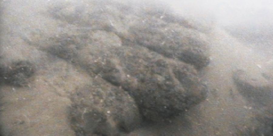
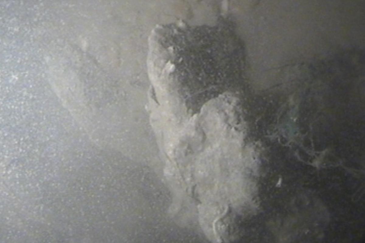
The Restoration was also a Royal Navy third rate 70 gun ship of the line, and was also lost on the Goodwin Sands during the Great Storm of November 1703. The site had been discovered by local divers in 1980, following a systematic investigation of recorded net fastenings. Diver inspection by Wessex Archaeology in 2003 revealed that the site comprised two mounds, largely covered by sand. During the dives several small iron concretions and a small timber fragment were observed. Wessex Archaeology revisited the site in 2006, following the processing and archaeological analysis of multibeam data gathered by St Andrews University, and work focused on the ‘north mound’ of the site, where wreck material was recorded and positioned on the site plan, using an acoustic diver tracking system. Divers explored features on the site, including two mounds of brick and concretion, which could relate to the hearths and galley area of the ship, a single iron gun, and a large structural timber coated on three sides by copper sheeting. In addition, archaeological assessment of multibeam survey data gathered in 2002 and 2005 highlighted the movement of a sandbank over the site, and the potential exposure of further archaeological material on the seabed.
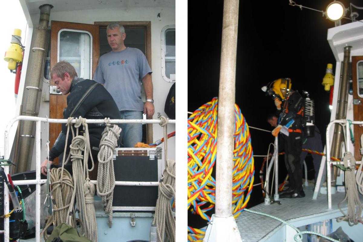
Preparing to dive on the Northumberland, and a still from video taken while diving on the Restoration
For 15 years, Wessex Archaeology has been the choice of National Curators for diving investigations, using innovative solutions for wreck surveys, as highlighted by the work on Resolution and Northumberland. Working with Licensees on available site plans, and incorporating these with processed and archaeologically assessed geophysical data formed a baseline, from which to direct dive operations. This combined with the use of acoustic tracking for the dive survey then enabled the overlay of the dive track on the geophysical survey results, providing a detailed view of the wreck site, with accurate positioning and recorded details about material on the seabed. These surveys facilitated further assessment and monitoring surveys, in order to ensure ongoing investigation and preservation of these important archaeological sites.