A GIS StoryMap enables you to share your maps in the context of narrative text and other multimedia content via a web platform. Information about the site is displayed in a story form and can include maps, narrative text, lists, images, videos, embedded items, and other media.
Published stories each have their own URL, which can be share directly with everyone via QR code and social media links. Stories can also be seamlessly embedded into other websites.
By create and publishing a collection of stories, a series of related stories or information based on a single site or a set of related sites can be bundled together for easy sharing and presenting.
ArcGIS StoryMaps is the next-generation storytelling tools for the ArcGIS platform. There are a number of advantages to authoring stories with ArcGIS StoryMaps:
- Story builder provides a single authoring experience that gives the flexibility to create stories with the content that is best suited for the topic.
- Web scenes can be fully configured and bookmarks created allowing pop-ups, legends, and other map elements to be added.
- Stories include a lightweight map interface allowing the audience to explore the geographic context to a narrative.
- The look and feel of the story can be set using a theme ensuring consistency in elements such as: background colors, accents, fonts, express maps, and more.
- Once published, additional revisions or updates can be made without affecting the shared version. When a new version is ready the story is republished to make changes visible.
- This form of content is fully mobile compatible. The platform’s modern design is optimized for viewing stories on both desktop computers and mobile devices, adjusting the layout seamlessly to fit the screen size available.
- All StoryMaps are highly discoverable with a worldwide reach once published, helping improving visibility and understanding of a heritage resource or site.
- Published stories are easy to share via embeds on other websites and can displayed as formatted cards on social networks.
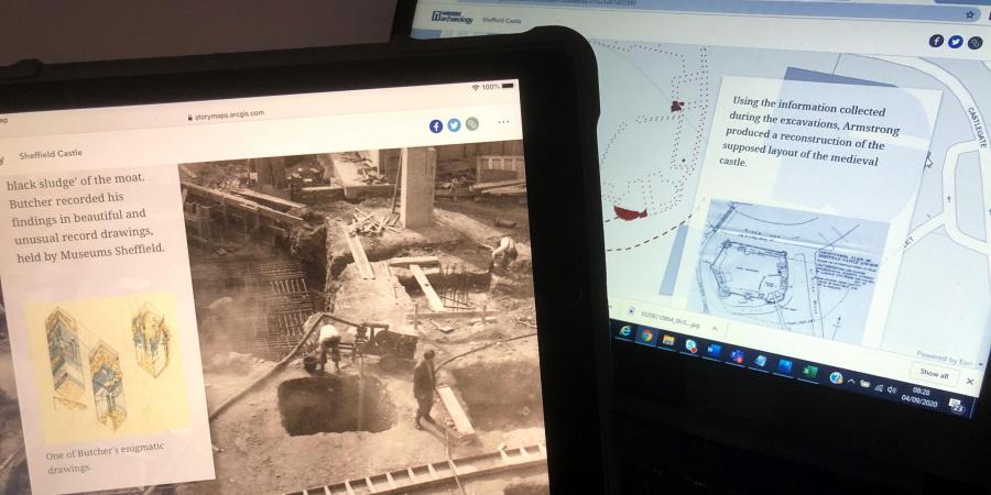
Below is an example of a StoryMap created for an excavation site in the heart of Sheffield.This form of dissemination is also ideal for harder to reach or inaccessible heritage landscapes. Online digital dissemination which is map and image based helps you reach a wider worldwide audience.
Find out more about our Heritage Interpretation Services here.
Team


Get in touch
Contact Karen Nichols, Studio Manager