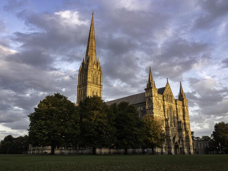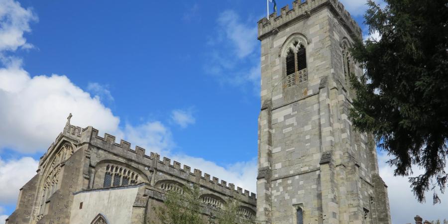
Our journey through the archaeological archives of Salisbury have primarily centred on the results of past excavations with supplementary input from documentary sources. These excavations have largely focussed on the homes and buildings of Salisbury’s residents but have recently arrived at the cathedral. This week we feature another of the principal religious buildings of the city, St. Thomas’s church, and include a contribution made to its study by geophysics – ‘geofizz’ to many watchers of TV! This mysterious ‘dark-art’ has developed immeasurably in recent years to the extent that it now forms an indispensable component of many archaeological projects, providing a relatively cheap, tantalising glimpse of what may lie hidden beneath the ground. It offers an especially attractive option where excavation is not possible; such is the interior of Salisbury’s magnificent parish church.
The initial concept of a new city at Salisbury undoubtedly included proposals for at least one place of worship. Records describe mass being celebrated on Trinity Sunday 1219 in a wooden chapel although it is logical to believe that this building may well have been located on the site of the future cathedral. Subsequent sources from 1238 describe a chapel, dedicated to St. Thomas, which was by then probably on the site of the present church. Documents confirm that a building, listed as a church, had been built by 1246, although nothing is known of its construction or appearance. The present building, with its famous late 15th century Doom Painting depicting the Day of Judgement, dates from about 1400.

No archaeological excavations have ever been possible to clarify what traces, if any, survive of an earlier church; however, a recent period of renovation within the church provided an unmissable opportunity to undertake a geophysical survey, using Ground Penetrating Radar (GPR), to examine the expansive area within the current nave. This technique works by recording radar pulses which are reflected back from buried features to map the underlying surface.

The results were surprising. They found no evidence of earlier stone foundations, relating to the 1238 or 1246 buildings, beneath the floor area, suggesting that the present building had not been enlarged from a smaller stone version. Such a stone building is likely to have been located elsewhere, possibly centred beneath the present chancel. The most intriguing features of the survey were six ‘anomalies’ at the west end of the building which were interpreted as post pads for a timber structure. Post pads, made of stone or brick, provide an acceptable solution for constructing solid supports for timber uprights in timber buildings. They are especially useful, as here, when foundations are placed in soft marshy ground.

The post pads were clearly visible along the north side of the church before crossing the mid-point of the nave, although they did not apparently return along the south side of the nave. It is therefore impossible to know whether they extended south beyond the walls of the nave or not. Each pad became visible approximately 0.85 m below the present floor level and could be traced downwards for a further 0.30 m, providing a base level approximately 1.10m below the present nave floor. When they were plotted, the pads were clearly aligned symmetrically within the present nave, indicating a distinct relationship between the two structures.
Opinions will be divided about whether this is sufficient evidence to argue that the pads define part of an earlier timber church. In truth, the use of geophysics cannot provide a function or date for the pads. It follows that it is impossible to know whether the associated structure represented an earlier barn or church or perhaps supported a gallery within the present church. The possibility that it represents part of a timber church is tantalising but sadly must remain conjectural until such time that excavations can be undertaken to resolve the issue.
The results of the survey raise interesting possibilities beyond the immediate concerns of the church to consideration of timber buildings in general. This type of construction has been used to create very functional buildings, including churches. Following demolition, they leave very little evidence that can be detected by excavation and virtually none for geophysics. As we have seen at previous locations in Salisbury most medieval buildings in the city are thought to have been built on low dwarf-wall foundations. However, as we noted at the Anchor Brewery (Salisbury Site 20) the earliest buildings there were described as ‘poorly defined structures and may have had timber foundations, which leave few traces’. Similar buildings were first observed in Winchester and have subsequently been reported in Newbury. The evidence in Salisbury remains speculative, however it may encourage researchers to re-evaluate whether timber buildings, similar to those in Winchester and Newbury, once played a larger part in the city’s architecture than previously thought.

Returning to St Thomas’s, the geophysical survey was totally justified, although the presence or absence of an earlier wooden building and its use may only be resolved by excavations located on targets provided by the survey, should the opportunity arise.